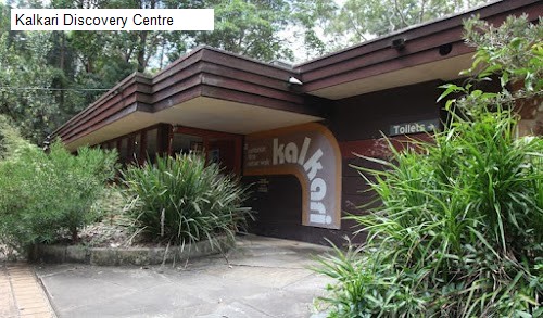
4 /5 Dev: This is a return track. You can start from Grosvenor Street in Wahroonga (off street parking on Grosvenor road, no toilets) or Murrua road in north Turramurra (free parking, no toilets) or Appletree Bay picnic area (paid parking, picnic area facilities) in Mount Colah.
One way length of the track is 5 or 6 kms depending on where you start. Wahroonga end has a flat walk and steps, North Turramurra end has flat walk and then descent which is steep and rocky while the Appletree picnic area is a Boardwalk.
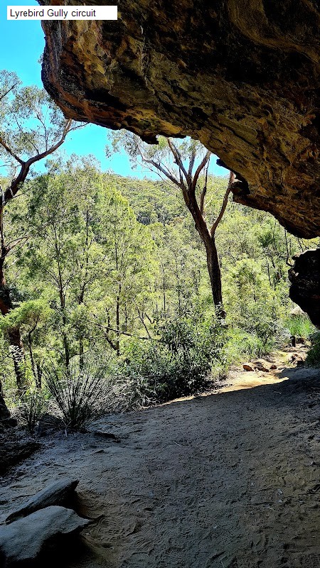
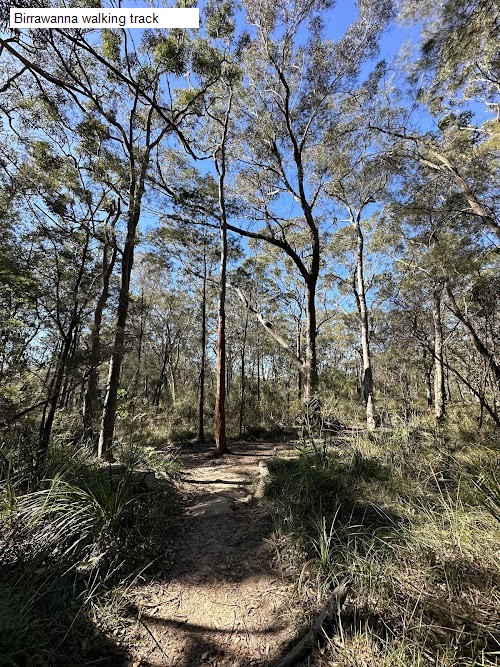
The track itself is mostly narrow, has some signs but prepared for navigating branches, trees fallen in the way, big rocks, pointy plants, occasional mud or a pool of water. The track runs mostly parallel to Cockle creek on one side. You can also get down to the creek level but may have to climb up the rocks to get back to the proper track. There are some places where the track does not exist and you have to walk over big rocks or through a narrow gap between giant rocks. The whole area appears to be a dense forest. There are plenty of photo opportunities. Whatever I have described in this review can be seen in the photos. Although the track is graded 3, be prepared to navigate difficult parts of the track.
Theres another small return track called Rainforest track which is about a km one way.
26 May 24: Started from the Wahroonga end. Be aware that after coming down the steep steps you need to cross Lovers Jump Creek over the rocks. These rock have small groves to help step through the rocks over the creek and continue with the track to the other side. I have added the elevation profile of the track captured with Google Fit. You can see the steep descend of almost 200 meters at the start of the track and the syeep ascend on return
You can also reach the Gibberagong track using public transport. Sometimes a section of the track may be closed so check out at www.nationalparks.nsw.gov.au before starting.